
Headlines of the Day
DoT to map key telecom infra by 2027
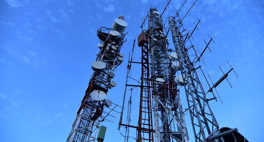
The Indian government is planning to geotag all the telecom infra in India. It will start with BSNL (Bharat Sanchar Nigam Limited) followed by the private telecom players. The decision to geotag or map all the telecom infra in the country is to ensure that resources can be utilised in the best manner when there are scenarios of natural disasters. The Department of Telecommunications (DoT) wants to geotag all the key telecom infra, telecom towers, and optical fibre cables, to facilitate coordination, by 2027.

To accomplish this, DoT will coordinate with other ministries and state governments. The data needs to be shared among the departments and state governments to make geotagging possible and successful. The data collected will also facilitate other projects, which require telecom infra as the backbone.
Geo-mapping is one of the key issues for DoT in its mission for 2047. While the telecom operators have rolled out the telecom infra in most parts of the country, it is not mapped. Because of this, it becomes hard for the center to track the telecom infra when it is down in scenarios of natural disasters. But once the mapped data arrives, it will become very easy to determine the nearest point for securing help whenever networks are down in certain areas.
While the telecom operators have their own system to coordinate and share infra whenever there is a natural disaster, with geo-mapping, the process will be streamlined even further.
The government may start the process with BSNL. The data needs to be kept safe and out of the hands of parties or organisations that may want to misuse it. In the future, the government plans to have complete details of the telecom infra (regarding location) through geotagging. TelecomTalk


You must be logged in to post a comment Login